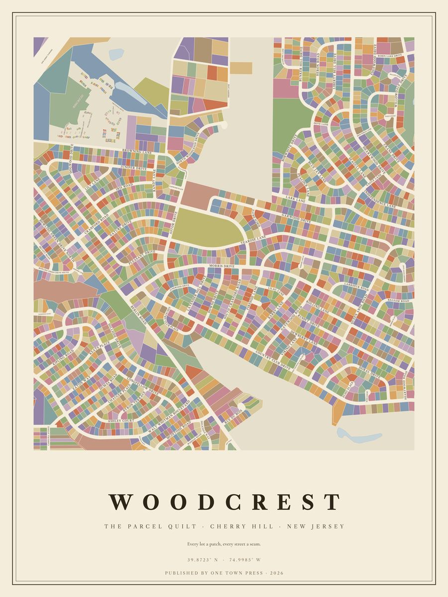
Tap the map to see it up close.
Cherry Hill · New Jersey
Tap the map to see it up close.
1,208 lots on Camden County’s parcel map, along 57 streets. Where the county records the year a home was built, they date from 1810 to 2018; 38% of them went up in the 1960s. The typical lot is about 0.27 acres; the largest is 178.6 acres.
Its streets: Centura, Country Club Drive, Morris Drive, Browning Lane, Tearose Lane, Pleasant Drive, Cranford Road, Fireside Lane, Rolling Lane, Juniper Drive, Russet Drive, Berlin Road, Gatewood Road, Doral Drive, Nature Drive, Barby Lane, Cranford Rd South, Hillside Drive, Iris Road, Garwood Drive, Woodleigh Dr North, Downs Drive, Queen Anne Road, Lavender Hill Drive, Randy Lane, Balsam Road, Dewberry Lane, Dogwood Drive, Rue Du Bois, Country Club Place, Junewood Drive, Astor Drive, Lily Lane, Heartwood Drive, Viking Lane, Birch Drive, Lilac Lane, Woodleigh Dr South, Garwood Place, Echo Place, Country Club Ct West, Fireside Circle, Cypress Lane, Morris Place, Cranford Drive, Echo Court, Woodfield Court, Fireside Court West, Larkspur Road, Lark Lane, Berlin Drive, Evesham Road, Hdlfd Berlin Road, Browning Ln Re, Badger Lane, Off Browning Lane, Hidden Lane.
Next door: Bowling Green, Downs Farm, Apple Hill, Willowdale, Bunker Hill, Sleepy Hollow.
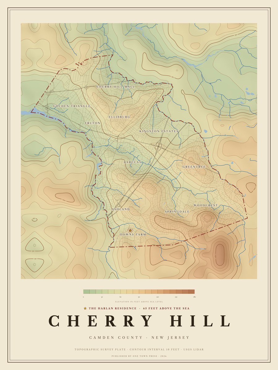
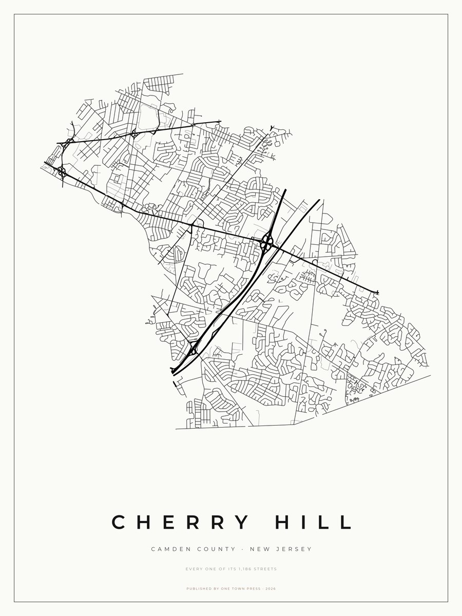
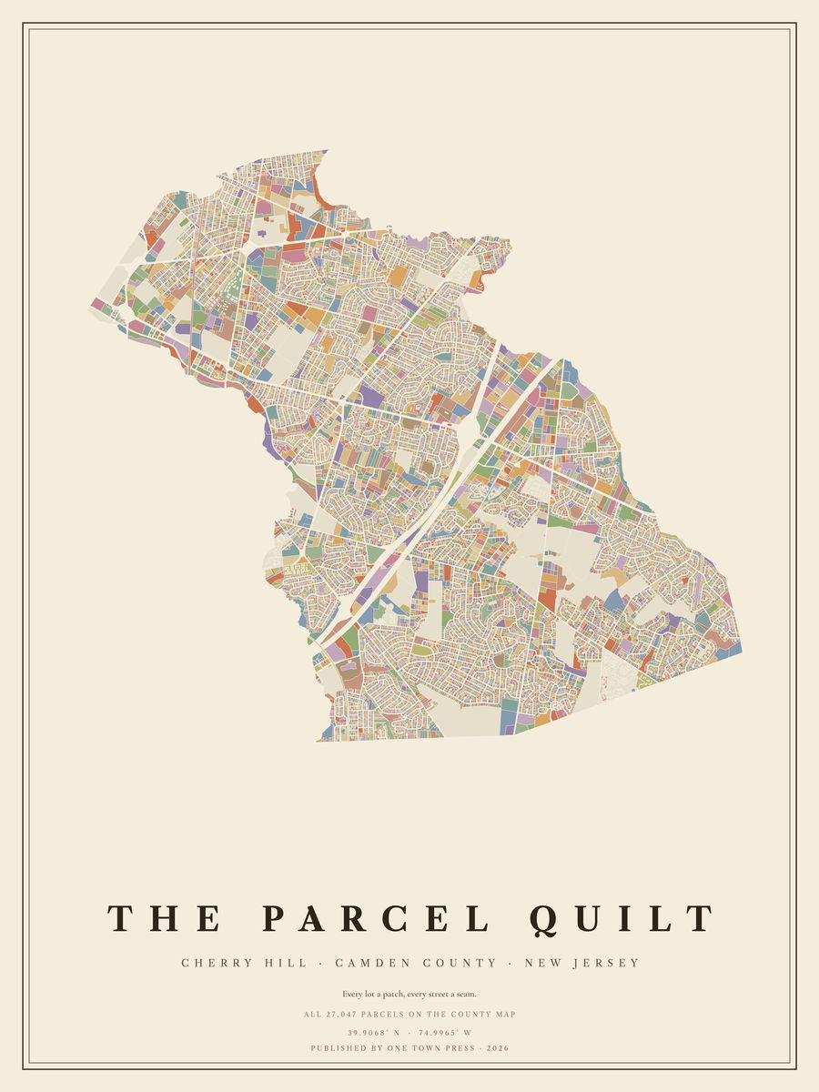
Your home on its own: the Lot, the Block, the Street →Back to Cherry Hill →