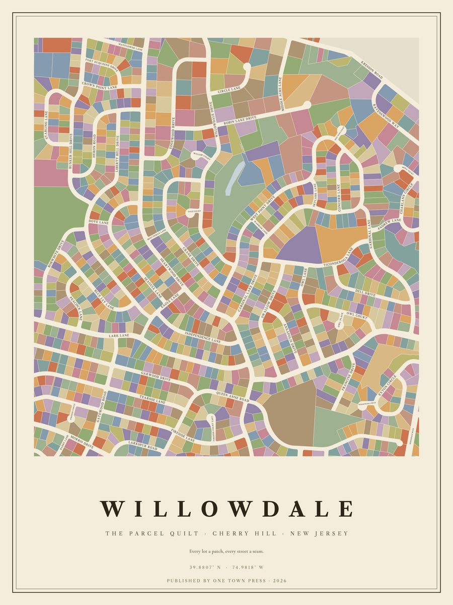
Tap the map to see it up close.
Cherry Hill · New Jersey
Tap the map to see it up close.
842 lots on Camden County’s parcel map, along 47 streets. Where the county records the year a home was built, they date from 1750 to 2024; 51% of them went up in the 1970s. The typical lot is about 0.29 acres; the largest is 9.8 acres.
Its streets: Heartwood Drive, Lark Lane, Cardinal Lake Drive, West Point Drive, Crane Drive, Liberty Bell Drive, Sea Gull Lane, Swallow Drive, Garwood Drive, Fireside Lane, Willowdale Drive, Blue Jay Lane, Tearose Lane, Robin Lake Drive, Owl Lane, Independence Lane, Queen Anne Road, Bob White Drive, Concord Lane, Peacock Lane, Annapolis Drive, Gatewood Road, Larkspur Road, Ravenswood Way, Eagle Lane, Charlann Circle, Edgewood Drive, Circle Lane, Kresson Road, Mona Court, Middle Acre Lane, Francine Drive, Willow Court, Fireside Court East, Owl Court, West Point Court, Dale Court, Dell Drive, Balsam Road, Skylark Lane, Owl Place, Cardinal Lane, Ticonderoga Lane, Queen Anne Drive, Gatewood Drive, Dove Lane, Willowdale Road.
Next door: Bunker Hill, Wilderness Acres, Woodcrest, Springbrook, Voken Tract, Short Hills.
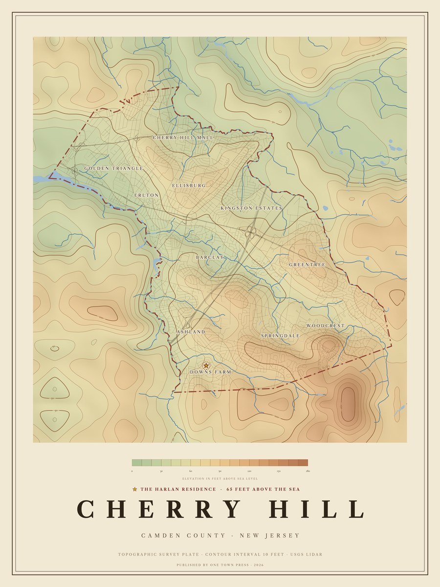
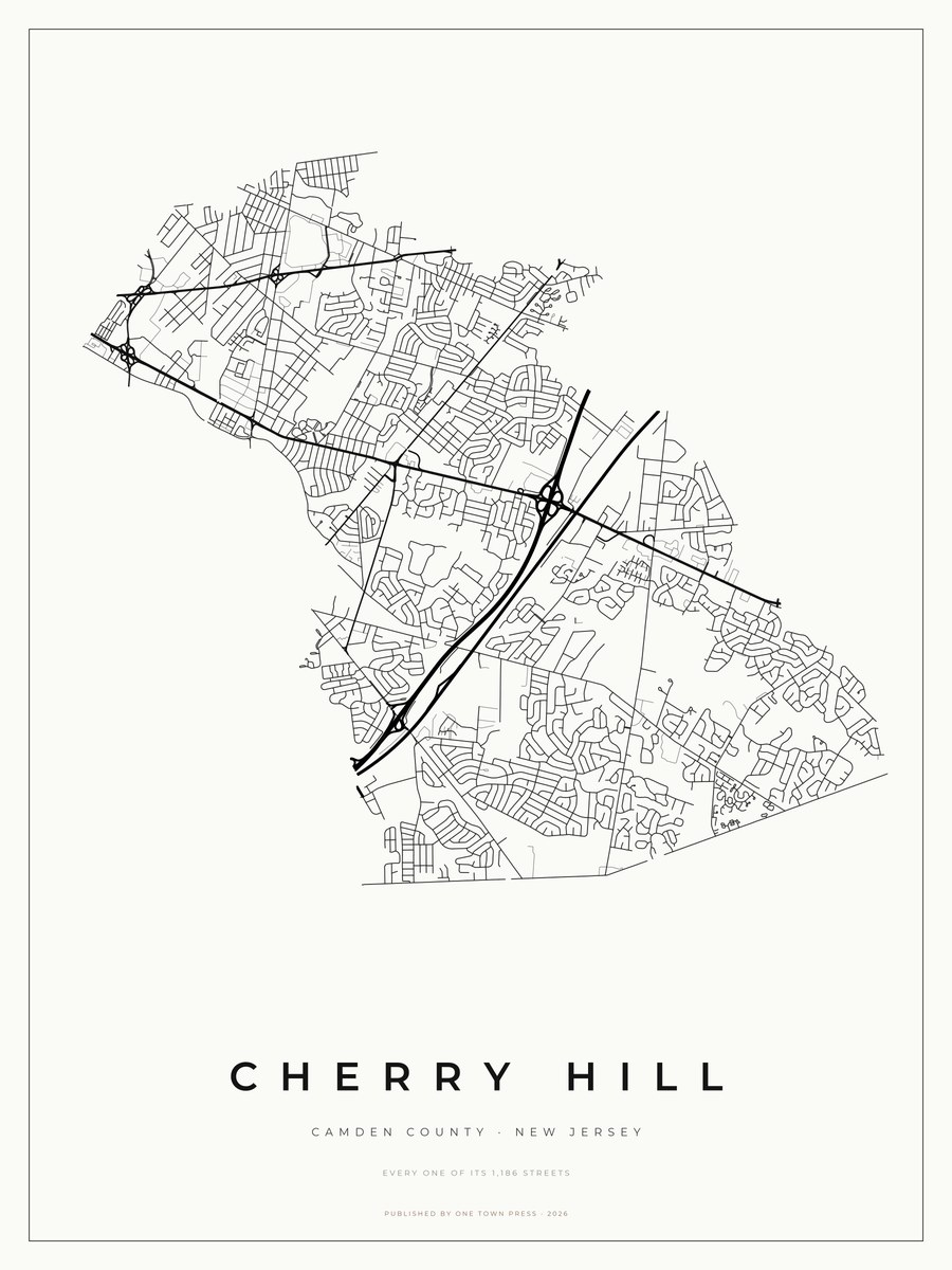
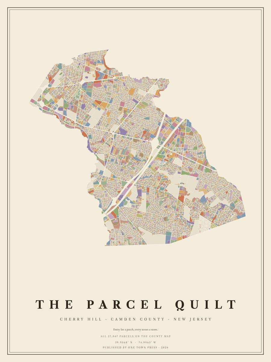
Your home on its own: the Lot, the Block, the Street →Back to Cherry Hill →