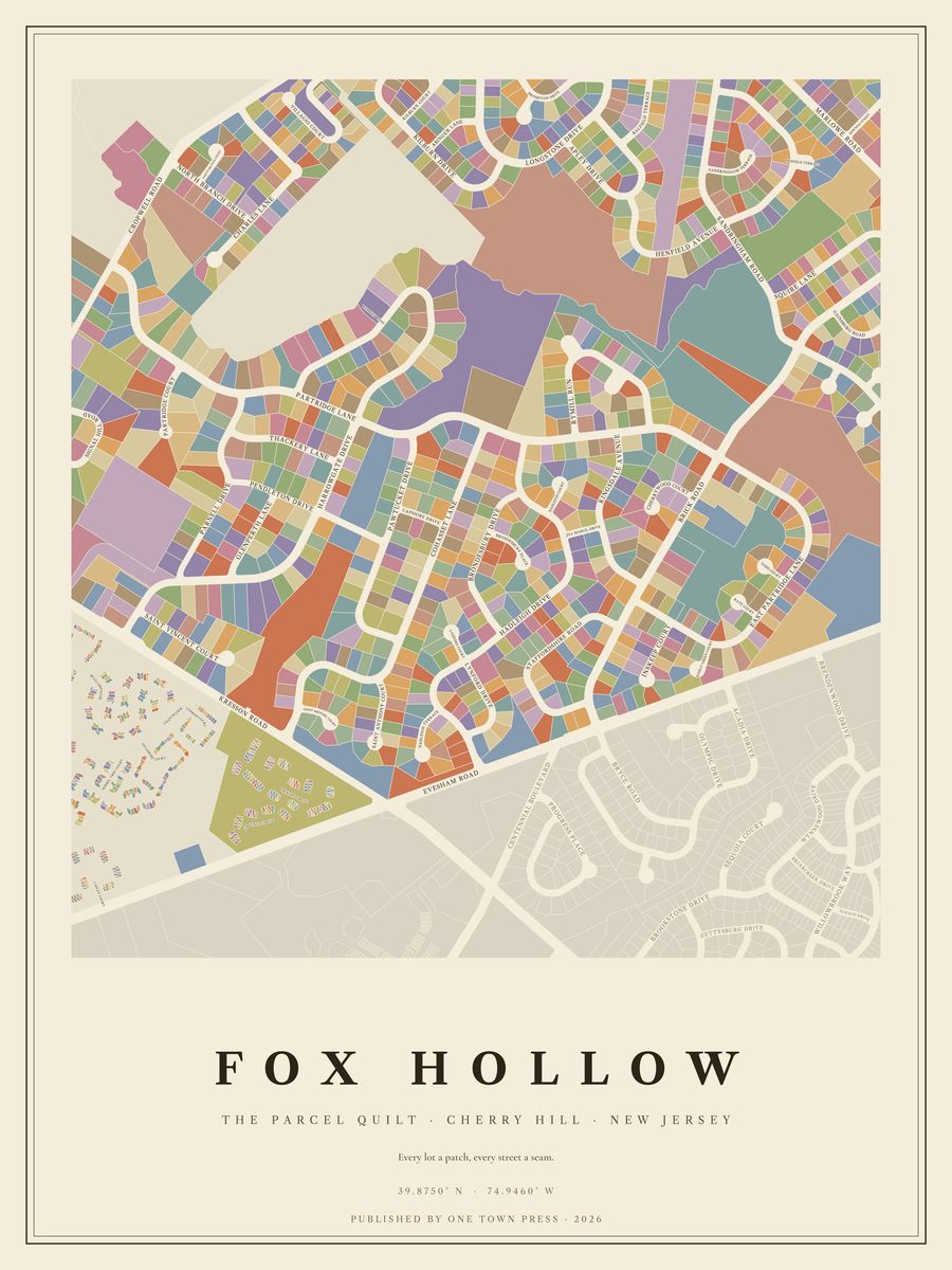
Tap the map to see it up close.
Cherry Hill · New Jersey
Tap the map to see it up close.
722 lots on Camden County’s parcel map, along 38 streets. Where the county records the year a home was built, they date from 1964 to 2003; 51% of them went up in the 1980s. The typical lot is about 0.34 acres; the largest is 39.3 acres.
Its streets: The Woods, Harrowgate Drive, Hadleigh Drive, Cohasset Lane, Partridge Lane, Charles Lane, Staffordshire Road, Pawtucket Drive, Brondesbury Drive, Partridge Ln East, Kingsdale Avenue, Villagio Court, Brick Road, Parnell Drive, Inskeep Court, Branch Dr North, Thackery Lane, Saint Anthony Court, Lynford Drive, Hadleigh Terrace, Pendleton Drive, Rymill Run, Brondesbury Place, Glenperth Lane, Saint Michael Court, Lynford Court, Kate Court, Sudley Green Court, Hadleigh Court, Cropwell Road, Capshire Drive, Kilburn Drive, Branch Ct North, Rymill Terrace, Partridge Court, Evesham Road, Cherrywood Court, Todd Court.
Next door: Chanticleer, Signal Hill, Surrey Place East, Country Walk, Cherrybrook, Old Orchard.
Your home on its own: the Lot, the Block, the Street →Back to Cherry Hill →